Hike to the Cañon de las Buitreras
01 May 2010
This article describes a wonderful hike we did to the Cañon de las Buitreras in the Ronda area of southern Spain.
This 6km round-trip hike took us from the Estación de Cortes de la Frontera to the famous Cañon de las Buitreras (Vulture Canyon). Again, it was an absolutely astounding hike — and the bridge crossing the canyon could easily be the centerpiece of a national park.
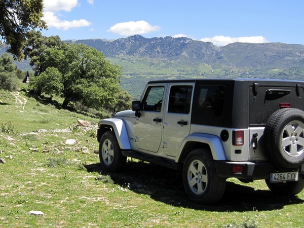
We left Marbella around 10 AM, stopping for breakfast at the Venta Navasilla on the mountain road to Ronda. Passing Ronda towards Sevilla, we took the turn-off to Benoajan. Just before Montejaque, we turned left towards Cortes de la Frontera. In Cortes, we took the round-about to the left in the center of town, and descended down to the sister-town of Estación de Cortes. After crossing the railroad tracks, we turned left, and about 1 km later turned right (just after crossing the bridge).
You would never know that this turn leads to the start of one of the most beautiful hikes around, leading to a Spanish national monument — the famous Cañon de las Buitreras. (We’ve tried to find the canyon several times from the other side, Gaucin, but never managed.) Anyway, after about 2 km the road turns into a dirt road, and winds up and down the valley. After a total of about 6 or 7 km, the road forks at the top of the hill.
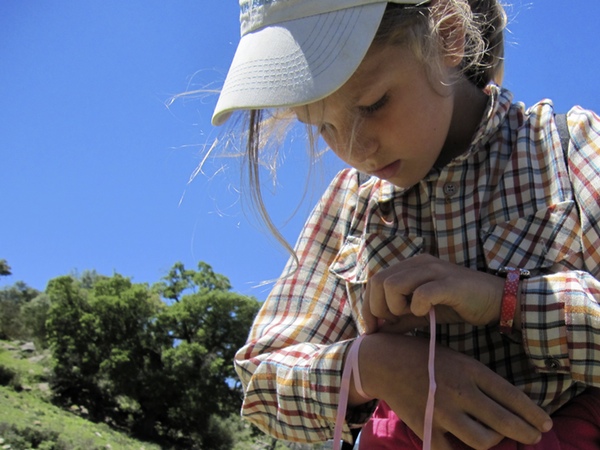
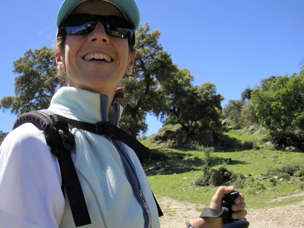
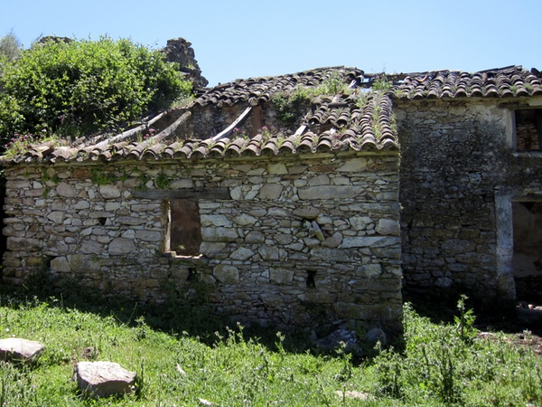
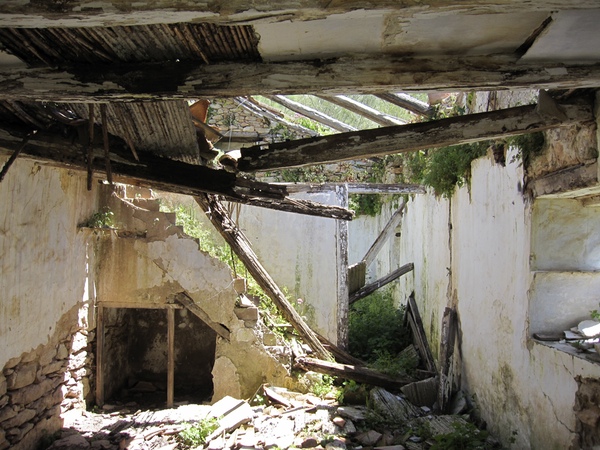
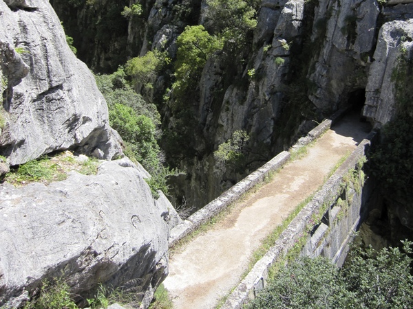
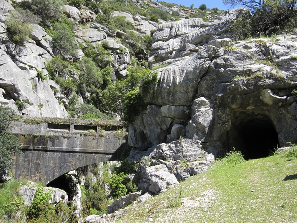
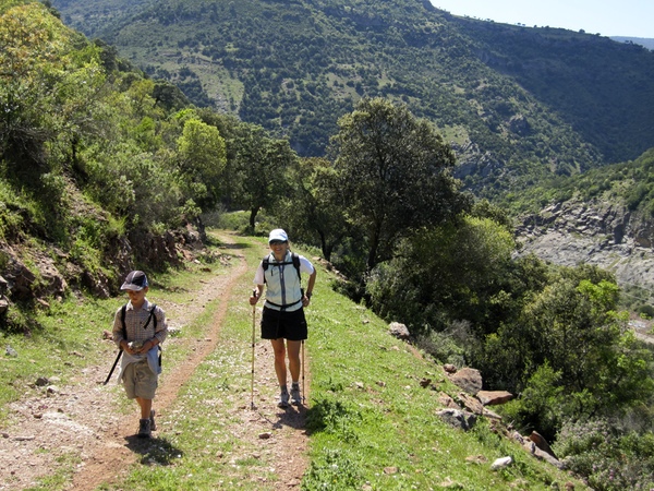
Our path goes off to the right, and we considered continuing on with the jeep, but then decided to park. Was a good decision, as the quality of the road deteriorates, and becomes very exposed. Hiking approximately 3 km down this road, we arrived at a ruined albergue (or ruined refuge). Another family there told us about the trail leading down from the fig tree patch, down the side of the mountain and into the canyon, eventually arriving at an old water-duct that serves as a bridge, known as the Puente de los Alemanes, built in 1918.
(If you’re standing at the albergue, to the right are some fig trees. To find the small trail, walk to the far corner of the fig patch (the corner closest to the canyon), and look for the tiny single-track trail.)
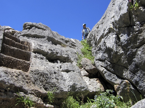
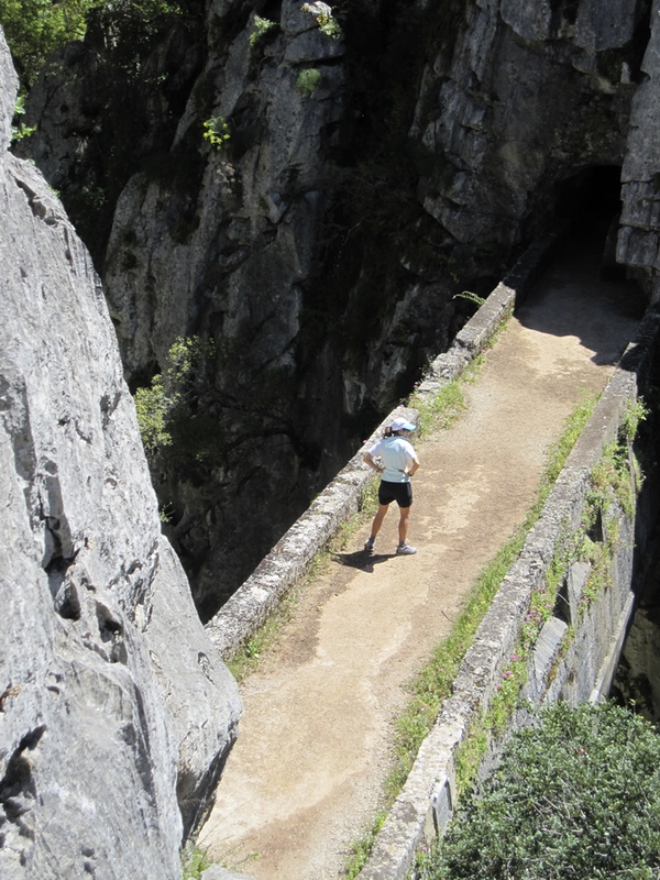
Walking down the barely marked trail, we eventually came to some rocks with bored out steps leading down to the bridge. The canyon at this point is about 5 meters across, and 100 meters deep and high. Although we didn’t let the kids descend down the rocks to the bridge, we (parents) did, and it was impressive. The views down over the side were stunning, and creepy. Across the bridge was a tunnel in the side of the canyon, leading eventually to the continuation of the trail on the other side (which leads to Gaucin.)
We returned up the hill to the albergue to have lunch, and then on back up the dirt road to the Jeep, to end the fantastic day.
Below is the GPS track of the hike, a selection of photos, and a link to the full photo set at Flick.


The full Flickr photo set is here.
Enjoy this article? — You can find similar content via the category and tag links below.
- Categories — Travel
Questions or comments? — Feel free to email me using the contact form below, or reach out on Twitter.